GIS Services
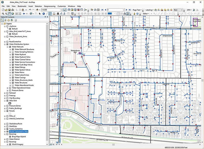
Bucknam Infrastructure Group, Inc. offers a team of GIS professionals with broad experience in GIS development, digitization and integration. We provide numerous GIS Management Services for our clients which span:
• Integrating infrastructure data into existing GIS Enterprise systems
• GIS staff augmentation (annual contract citywide services); GIS feasibility studies
• Retro-reflectivity Services GPS data collection (signs, sidewalk, pavement, etc.)
• Linking record retention documents to GIS
• Infrastructure thematic mapping
• Digitizing, geo-referencing
• Digital Roadway Imaging (see other services)
• ArcGIS Server, ArcSDE, GeoServer application development
• Web Applications - ArcGIS Online, XY Maps Integration
• PMP-GIS Link (MicroPAVER, CarteGraph, etc.)
Additionally, we can assist you in establishing GIS technology to operate more efficiently and a strong return-on-investment from your GIS data sources. Depending on your current short-term and long-term needs, Bucknam will:
• Help you develop a GIS strategy and business plan
• Implement common-sense goals and achievable project schedules
• Supplement your staff to build, collect and manage your GIS
Our clients include local agencies, airports, sanitation districts, utility agencies and HOA’s. They all benefit from our staff's core GIS experience and project success.

